Mapping Amache Internment Camp in Granada, CO
How to use the online map of Amache

Open the Map of Amache

See Amache from above

Latest posts
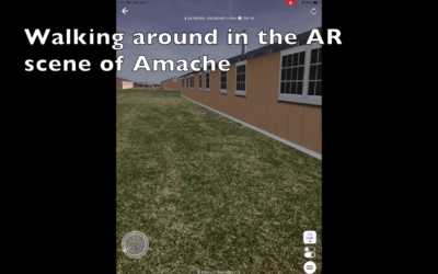
Amache AR Demo
The video clip below shows how one can use augmented reality (AR) to explore the buildings of Amache at full scale. The screen capture video was created in a neighborhood park using a 3D model of part of block 12G. I was able to literally walk around the barracks,...
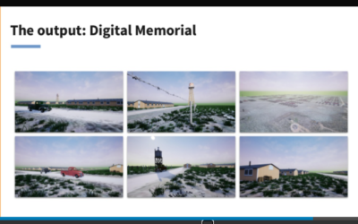
Amache data in Unreal Engine immersive environment
Your Data in Unreal: How to bring your data into real-time environments... this was a webinar about how to "experience your 3D datasets in fully immersive environments". Amache data was featured, among others, showing how the camp was rebuilt in the Unreal Engine...
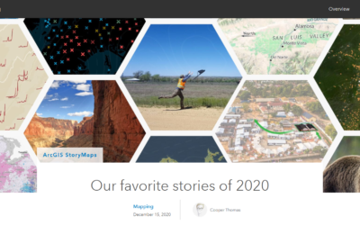
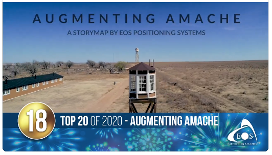
Esri Favorite Stories of 2020 – Augmenting Amache!
Esri has featured the Augmenting Amache StoryMap in their list of Favorite Stories of 2020! This story map was created by Emma Hardy and Sarah Alban at Eos Positioning Systems. It tells the story of Dennis Otsuji, who was born at...
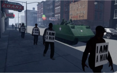
Axios News Features Amache – Recreating racism in VR to fight real racism
What they’re saying: “This is a powerful medium that allows you to experience the perspective of another person, and maybe, just maybe, you’ll change your own perspective [on] how people experienced life as a Black person,” said Ham.
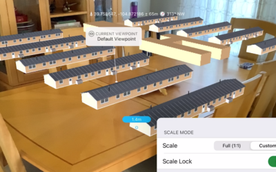
Table top AR Amache Example
This video clip is an example of using FME AR to display a section of buildings from Amache in augmented reality. It can be done at the actual location, or in your dining room ... Please have a look at this quick video clip captured on my iPad Mini using FME AR. The...
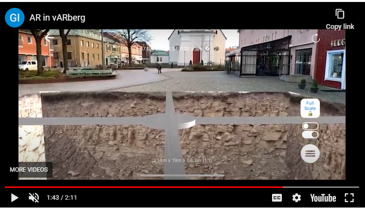
Augmented Holes – How to see underground
This article discusses a possible solution for showing underground features at Amache in AR. Such features could be pipes, conduit or other buried features....
Augmenting Amache Story Map
The story map Augmenting Amache was released in February 2020 by Eos Positioning Systems. It shows some of the work being done to recreate Amache in 3D and Augmented Reality. Eos has kindly provided GNSS receiver and technical...
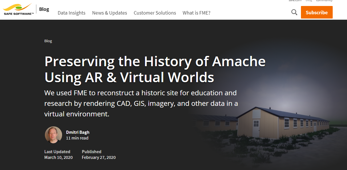
Preserving the History of Amache Using AR & Virtual Worlds
Safe software explained in this blog post how they used FME AR to model various data into virtual worlds in different platforms. It's inspiring to read how this can be done at a relatively large scale.He used CesiumJS for sharing a 3D scene over the web, and Unreal...
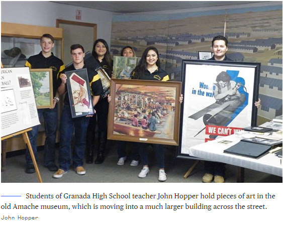
Colorado teacher, students rebuild Japanese American prison camp piece by piece
NBC News covered the efforts by John Hopper and his students in Granada, Colorado and their work to preserve this historic site. The article is a good read. Have a look.....
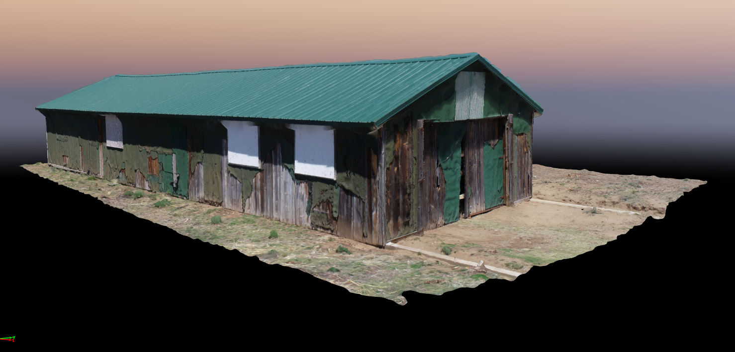
Amache 11F Rec Hall Point Cloud
The Rec Hall building of Block 11F at Amache was returned on May 17, 2018. This image shows the textured mesh rendering generated from 96 images taken in orbit around the Rec Hall. Click on the image to link to the textured mesh online. It is a large file, so may be...