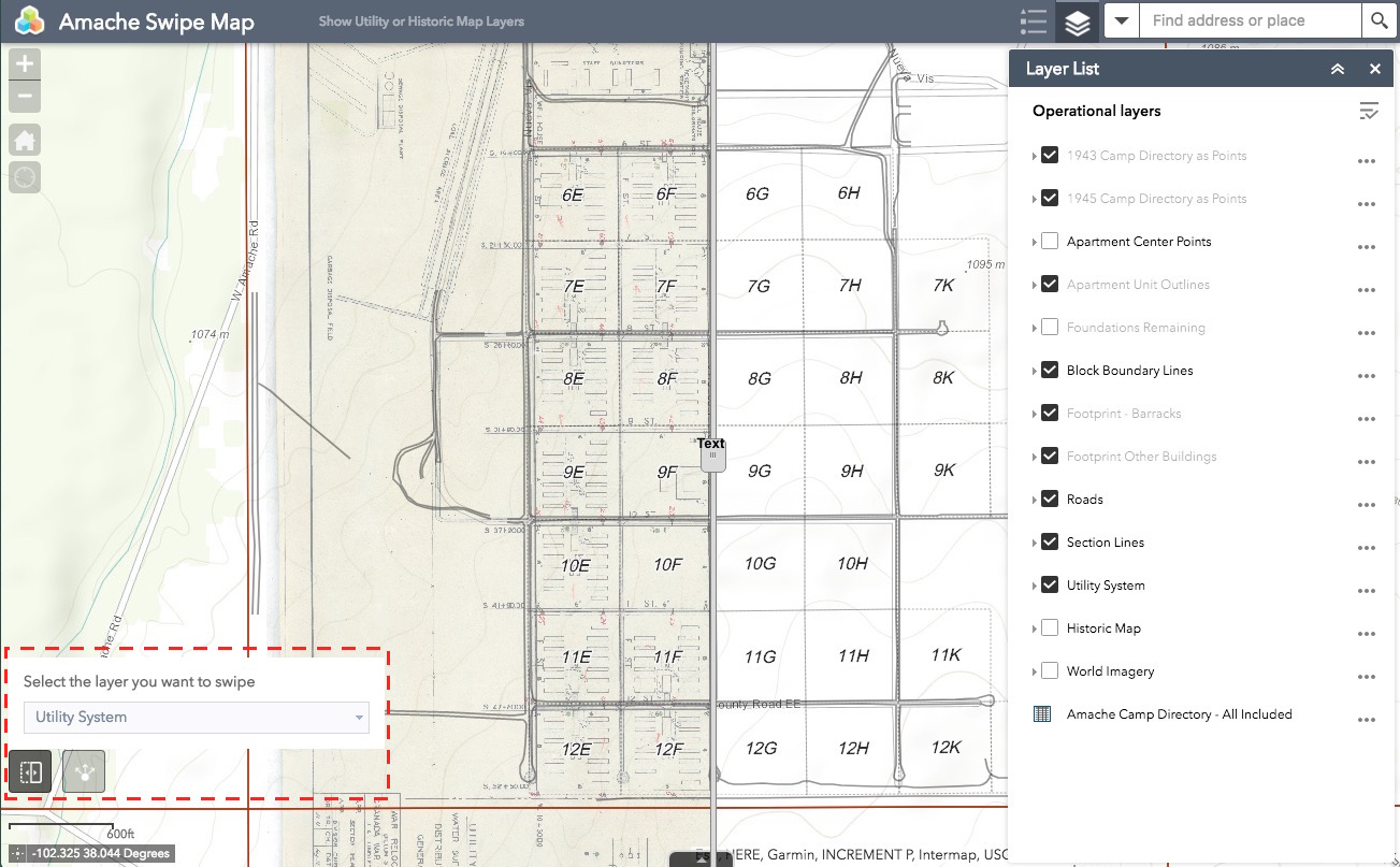
This separate map underlays two maps which display the original camp layout as drawn, and the utility system as planned for Amache. Use the link below to visit this map. It is separate from the Amache Camp Directory Map to prevent too many features and buttons from being on the same page.
The Swipe Tool is turned on by default at the bottom left. Using the Layer List panel on the right, switch on and off the Utility System , Historic Map and the World Imagery layers. Swipe the divider tool back and forth to show or hide the layers.
