by user | Mar 10, 2021 | 3D, AR and VR, Mentions
Your Data in Unreal: How to bring your data into real-time environments… this was a webinar about how to “experience your 3D datasets in fully immersive environments”. Amache data was featured, among others, showing how the camp was rebuilt in the...
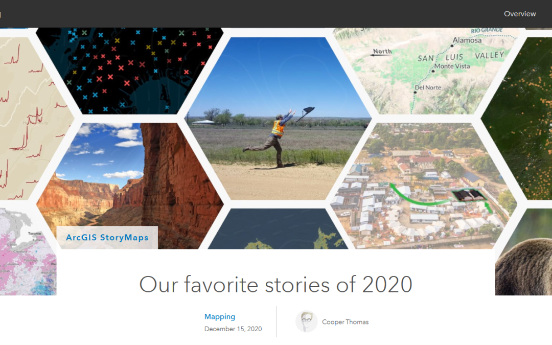
by user | Jan 9, 2021 | 3D, AR and VR, Mentions
Esri has featured the Augmenting Amache StoryMap in their list of Favorite Stories of 2020! This story map was created by Emma Hardy and Sarah Alban at Eos Positioning Systems. It tells the story of Dennis Otsuji, who was born at Amache. We had a chance meeting at...
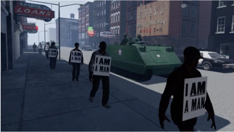
by user | Dec 23, 2020 | 3D, AR and VR, Mentions
The Amache Project was featured recently in this article n Axios by Russel Contreras. He describes how new virtual and “augmented” reality technology is allowing users to experience 1960s civil rights marches, the agony of segregation for Black Americans,...
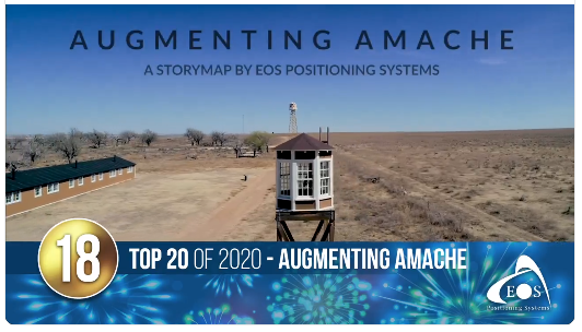
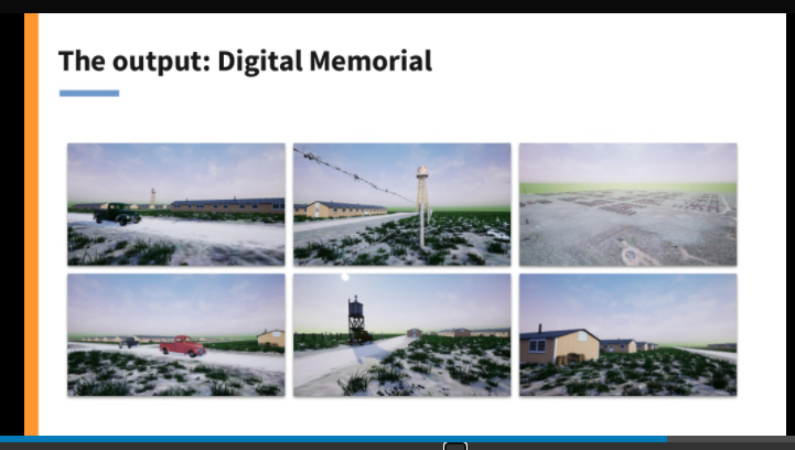
by user | Feb 19, 2020 | 3D, AR and VR, Mentions
The story map Augmenting Amache was released in February 2020 by Eos Positioning Systems. It shows some of the work being done to recreate Amache in 3D and Augmented Reality. Eos has kindly provided GNSS receiver and technical support for my data collection at Amache...
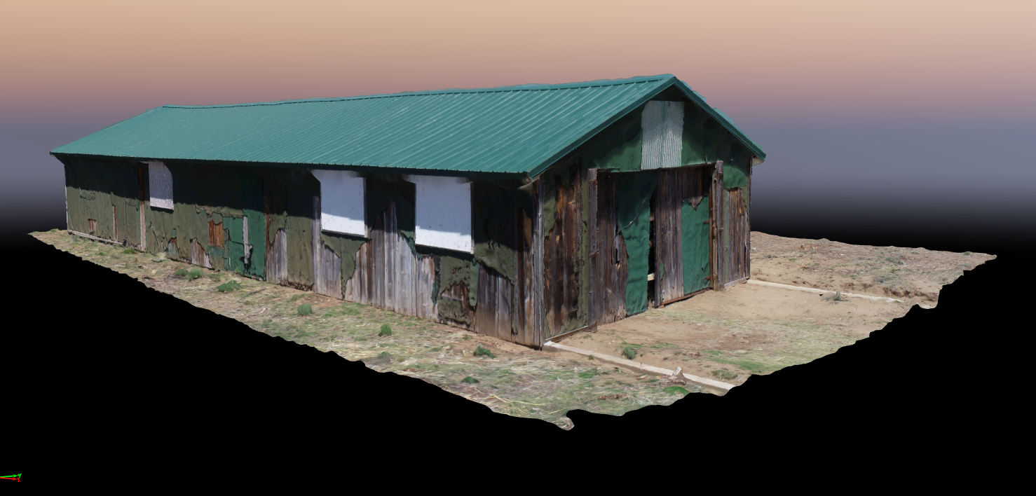
by user | Feb 3, 2020 | 3D
The Rec Hall building of Block 11F at Amache was returned on May 17, 2018. This image shows the textured mesh rendering generated from 96 images taken in orbit around the Rec Hall. Click on the image to link to the textured mesh online. It is a large file, so may be...
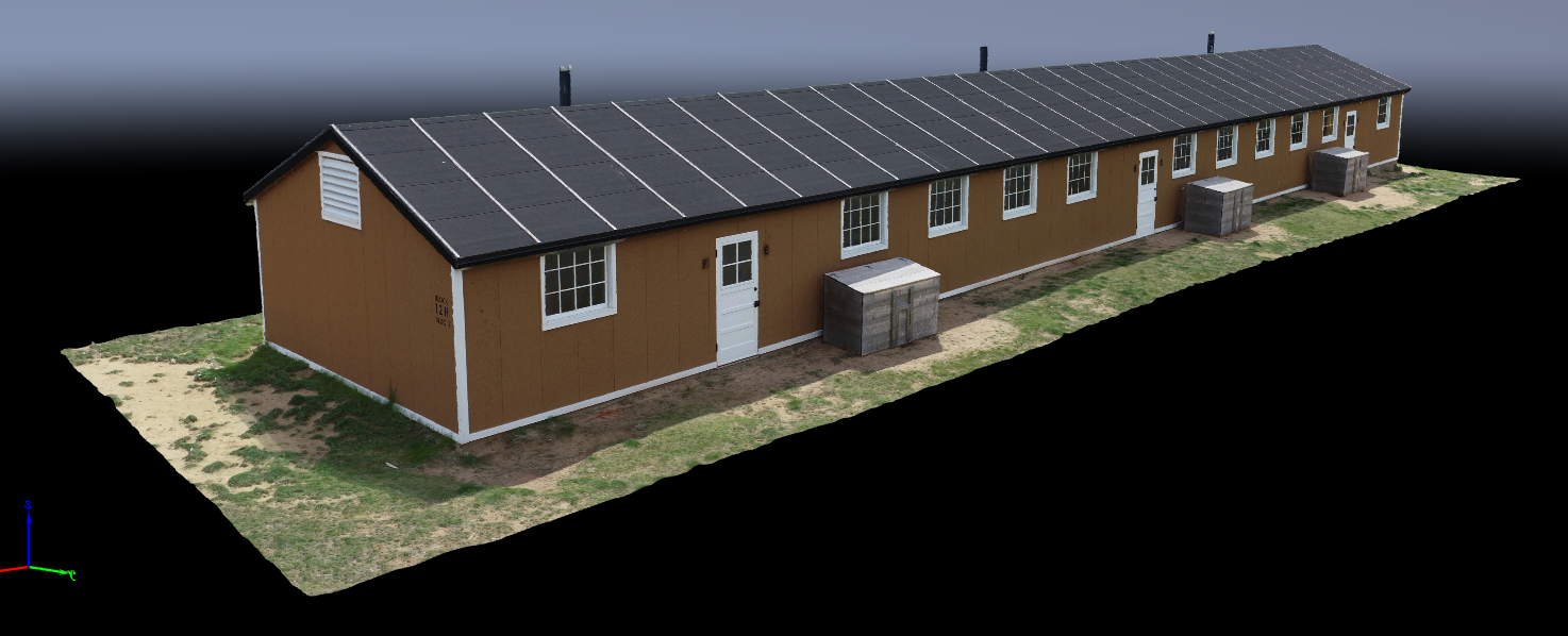
by user | Feb 3, 2020 | 3D
This is the barrack building as reconstructed to the original spec. The point cloud lets you zoom in and out and rotate the structure all around. The point cloud is derived from 264 images – maybe more than enough. It was captured in detail. Click on the image...