by user | Feb 1, 2020 | 3D
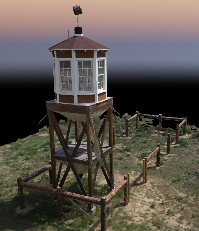
This is the guard tower on the south end of the site at the point where block 12G and 12H meet. The guard tower was reconstructed as part of a project organized by Colorado Preservation Inc. The point cloud is derived from 150+ images captured via drone and processed...
by user | Oct 5, 2019 | 3D, AR and VR
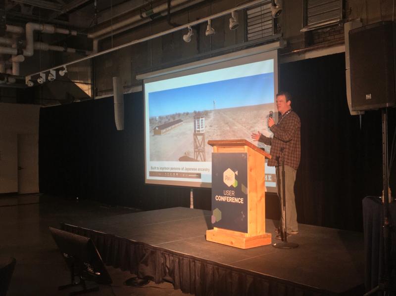
Focused on Amache and recreating the site using photogrammetry and GIS together – I was lucky enough to be invited to present. There were so many great presentations to see at the conference. It was a great learning experience.