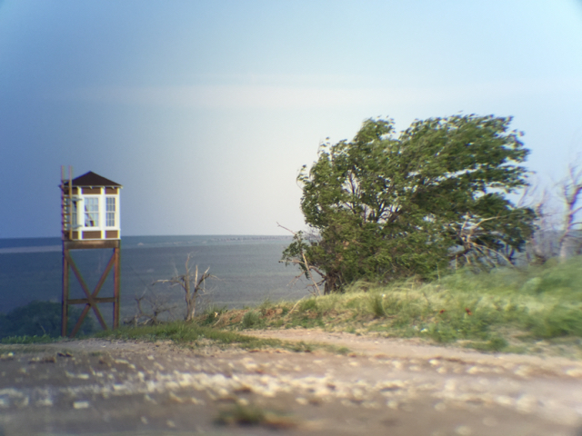
Amache Internment Camp is located near Granada, Colorado. It is where over 10,000 Japanese-American citizens and persons of Japanese ancestry were forced to live from 1942-1945. It is also called Granada Relocation Center.
I have been mapping Amache Internment Camp since 2010 as a GIS specialist for the University of Denver Department of Anthropology. It is my good fortune to be working on this project still.
This weblog is intended to follow along with the long-term project of mapping this one square mile of earth where so much history took place. The basic map of Amache has been developed over the last few years. There are layers for things like roads, boundary, housing blocks, barracks and so forth. The challenge is to present this information in a way that makes it useful, accessible and honors the people who lived there.
